ACERCÁNDOSE LA TORMENTA TROPICAL ERIN
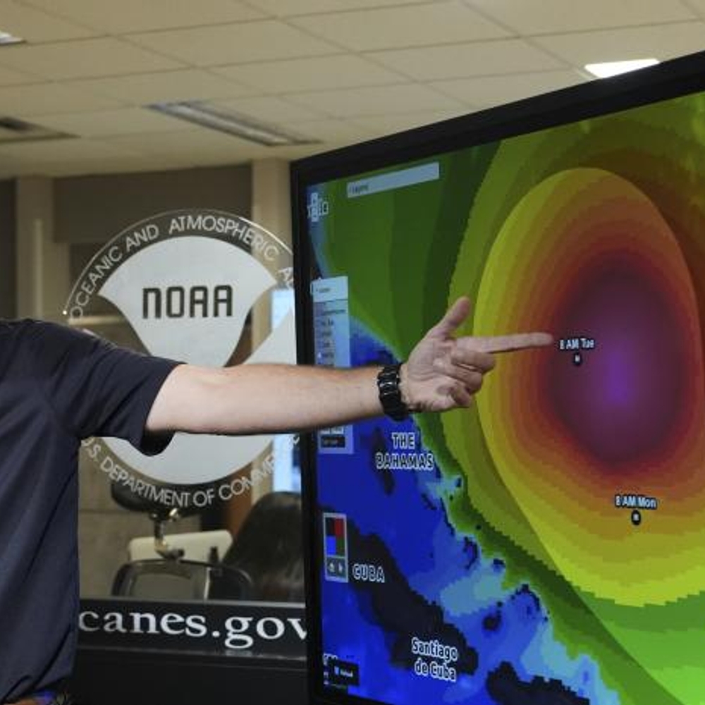
La tormenta tropical Erin se está acercando al Caribe, lo que ha llevado a las autoridades a emitir alertas por posibles inundaciones y deslizamientos en zonas como Puerto Rico y las Islas Vírgenes. Con vientos máximos sostenidos de 113 km/h, se espera que la tormenta traiga consigo fuertes lluvias a la región durante los próximos días. Los meteorólogos advierten sobre el riesgo de marejadas peligrosas y corrientes de resaca en la cuenca occidental del Atlántico.
La temporada de huracanes del Atlántico se ha vuelto más activa con la formación de Erin, que se convierte en la quinta tormenta con nombre en esta temporada. Se espera que Erin se intensifique y se convierta en huracán en los próximos días, alejándose hacia el este de las costas de Estados Unidos. Los expertos indican que aunque aún hay incertidumbre sobre su trayectoria exacta, es importante mantenerse informado sobre su evolución.
—
The tropical storm Erin is approaching the Caribbean, leading authorities to issue alerts for possible floods and landslides in areas such as Puerto Rico and the Virgin Islands. With maximum sustained winds of 113 km/h, the storm is expected to bring heavy rains to the region in the coming days. Meteorologists warn of the risk of dangerous swells and rip currents in the western Atlantic basin.
The Atlantic hurricane season has become more active with the formation of Erin, becoming the fifth named storm of this season. Erin is expected to intensify and become a hurricane in the next few days, moving away towards the east coast of the United States. Experts indicate that while there is still uncertainty about its exact path, it is important to stay informed about its evolution.
—
#BreakingNews #WeatherUpdate #TropicalStorm #Erin #HurricaneAlert #Caribbean #Atlantic #NoticiasUltra