FORMACIÓN DE TORMENTA ERIN: ALERTA METEOROLÓGICA
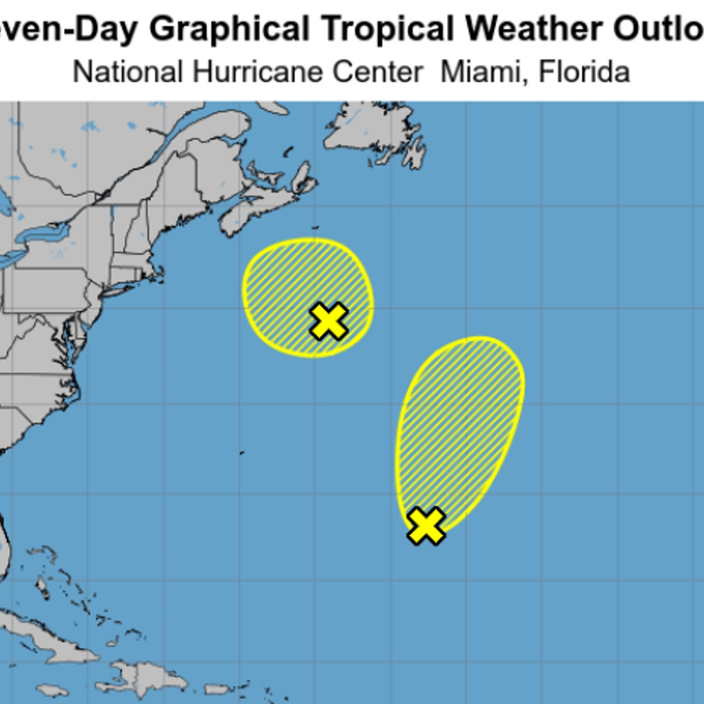
Se forma la tormenta tropical Erin frente a las islas de Cabo Verde en África. El Centro Nacional de Huracanes de Estados Unidos reportó que el ciclón no representa peligro para tierra firme. Erin se desplaza hacia el oeste a una velocidad de 20 millas por hora y se espera un fortalecimiento gradual en los próximos días.
La Administración Oceanográfica y Atmosférica Nacional de Estados Unidos pronostica mayor actividad de tormentas tropicales en el Atlántico durante la segunda mitad de la temporada de huracanes. Se esperan entre 13 y 18 tormentas tropicales, de las cuales entre cinco y nueve podrían convertirse en huracanes.
¡Comenta si te interesa saber más sobre la temporada de huracanes en el Atlántico este año! 🌪️🌊
—
In the Atlantic, the tropical storm Erin has formed off the coast of Cape Verde in Africa. The National Hurricane Center of the United States reported that the cyclone is currently not a threat to land. Erin is moving westward at a speed of 20 miles per hour and is expected to gradually strengthen in the coming days.
The National Oceanic and Atmospheric Administration of the United States forecasts increased tropical storm activity in the Atlantic during the second half of the hurricane season. Between 13 and 18 tropical storms are expected, with five to nine potentially becoming hurricanes.
Share if you are interested in learning more about this year’s Atlantic hurricane season! 🌪️🌊
—
#NoticiasUltra